 Inland Flooding
Information on inland flooding for Connecticut

Reports, presentations, posters, and outreach materials

Interactive map viewer and technical tools

Inland flooding research and planning projects

FEATURED TOOL
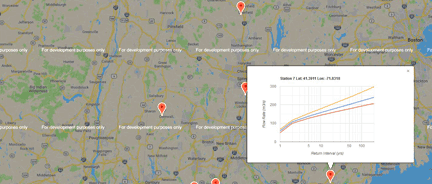
River Networks Flow Rates Map Viewer
Interactive graphs of return interval for flow rates on Connecticut river networks - graphs show five return intervals at specific river locations.
Featured Project
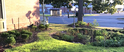
Hartford Green Infrastructure Project
Outreach materials about green infrastructure best management practices to support Hartford's climate initiative.
Featured Reference
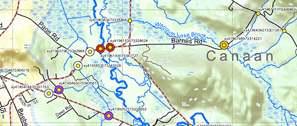
Road-stream Crossings in the Naugatuck Valley
Reducing flood risk and improving river habitat by integrating climate resilience into the management of road-stream crossings.
Featured Project
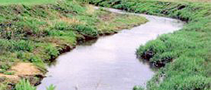
Building Northwest Hills Resilience using LID
Providing technical guidance on new and improved stormwater management practices and low impact development (LID).