 Policy & Planning
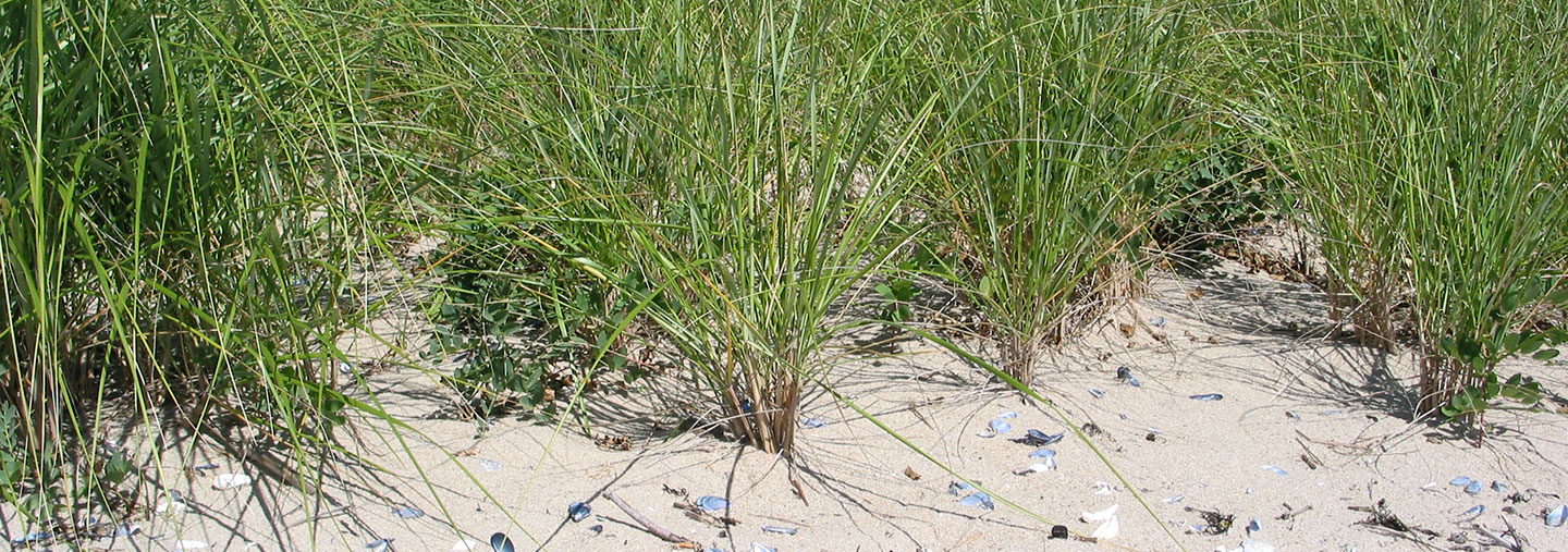

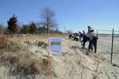
Living Shorelines
Preserving the natural elements of the shore while also providing protection from erosion.

Critical Infrastructure
Connecting firm science with the decision-making needs of state and local leaders.

Inland Flooding
Projecting changing precipitation patterns and future inland flooding in riverine communities.
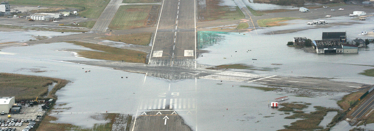
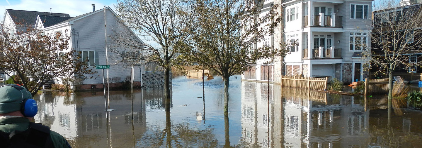
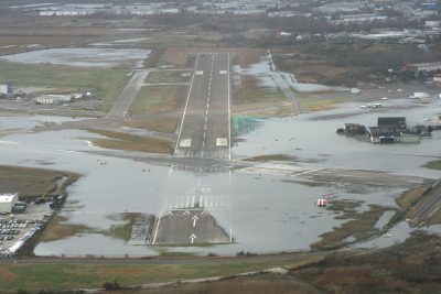
Coastal Flooding & Waves
Mapping coastal flooding from waves, storm surge and high tide.

Policy & Planning
Community climate adaptation policy and planning through research and analysis.

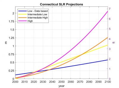
Sea Level Rise
Providing future sea level rise scenarios for Connecticut's coastline.

CIRCA’s 10th Anniversary 2014-2024
The Connecticut Institute for Resilience and Climate Adaptation (CIRCA) marked its 10-year anniversary on Thursday, October 10th, with a special event at UConn Avery Point. The event, held from 10 am to 12:30 pm, highlighted CIRCA’s mission to help Connecticut’s vulnerable communities become more resilient to the growing impacts of climate change. More
CIRCA: Serving Connecticut’s Coastal Communities and Beyond
UConn Today July 23, 2024
UConn Today Article
Mac Murray & Thomas Rettig
CIRCA: Serving Connecticut’s Coastal Communities and Beyond
As seas and temperatures rise, [CIRCA] uses research and community engagement to protect communities across the state.
From the Long Island Sound to Hartford and beyond, the Connecticut Institute for Resilience & Climate Adaptation uses research and community engagement to protect communities across the state from the effects of climate change.
Watch Video

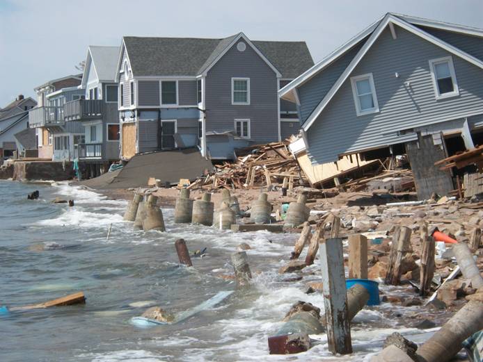
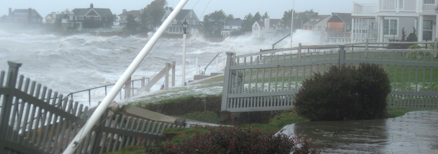
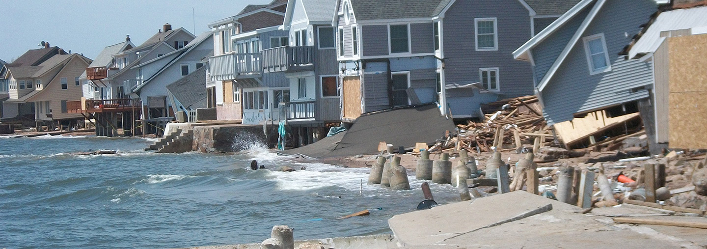
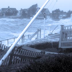
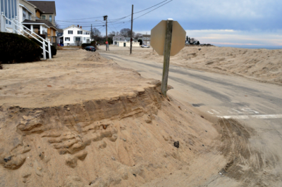
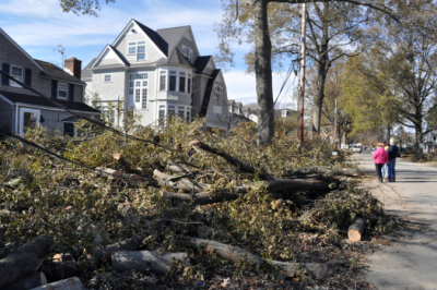
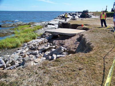
Super Storm Sandy in Connecticut:
Progress & Challenges After Ten Years
|
|
Ten years ago, the reality of stronger storms, climate change, and sea level rise arrived on Connecticut’s shore with Super Storm Sandy. In the intervening decade, local and state agencies, academic institutions, and organizations around the state mobilized more resources and capacity to address the issue of climate change. CIRCA hosted an event at UConn Avery Point's Branford House on October 28, 2022 to mark the Anniversary of this memorable storm and highlight Connecticut’s progress and challenges to address the increasing threats of climate change.
Resilience Roundup and CIRCA Announcements
Sign Up for the Resilience Roundup e-newsletter and CIRCA Announcements

The Resilience Roundup is an e-newsletter including local, state, and national news clips on resilience and adaptation as well as resources , events, and funding announcements. The CIRCA Announcements list will send you notices of the latest CIRCA research, events, tools, grants, and engagement opportunities.

To stay in touch on a broad range of floodplain management issues subscribe to, The Torrent, an e-newsletter published by our partners at the Connecticut Department of Energy and Environmental Protection, Bureau of Water Protection and Land Reuse, Land and Water Resources Division.