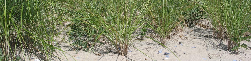
 Green Infrastructure and living shorelines
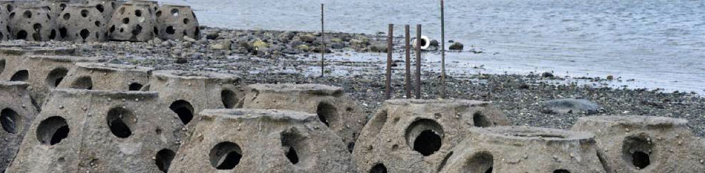 Green Infrastructure and living shorelines
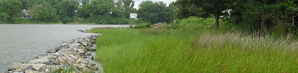 Green Infrastructure and living shorelines
General information about green infrastructure, living shorelines and related projects

Guidance and general concepts and protocols (reports, documents, and presentations)

Interactive tools and data to directly support planning, design, and implementation of projects

Planned, designed, or implemented green infrastructure and living shoreline projects

Featured Tool
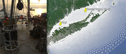
LIS Wave and Site Suitability Data
Funded by NOAA CREST, this project produced wave heights for different return periods in LIS and living shoreline site suitability data in an online map viewer.
Featured Reference
Northeast Living Shoreline Profiles
CIRCA worked with five New England state and regional organizations, to develop concise living shoreline profiles including siting and design information.
Featured Reference
Dredged Material for Tidal Marshes
This project helps determine the feasibility of using dredge materials to restore or create tidal marshes to decrease erosion and improve drainage.
Featured Project
Stratford Point Living Shoreline
A project at Stratford Point in Fairfield County involves restoration and research of a living breakwater, tidal marsh, coastal dune and upland habitats.