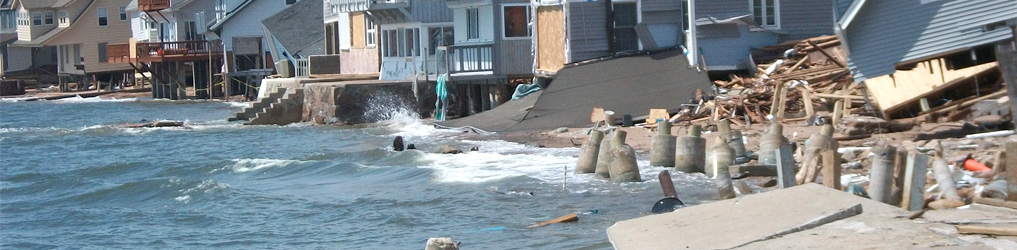
 Sea Level Rise
Tools Related to Sea Level Rise
Connecticut Sea Level Rise and Storm Surge Viewer
This dataset shows two different sea level rise projections (1 foot and 20 inches), above a Mean Higher High Water (MHHW) along the Connecticut coastline and the adjacent inland. CIRCA research recommends that planning anticipates sea level will be 20 inches higher than the national tidal datum in Long Island Sound by 2050. CIRCA’s report on Connecticut sea level rise provided the basis for projections in Bill S.B. 7, which was introduced into the 2018 legislative session and was enacted into law as Public Act 18-82.
To view the data, zoom in on the map to your area of interest. Use the Layers menu widget at the bottom of the map window to select data to display. Different projections of sea level rise/storm surge scenarios and FEMA flood hazard map layers will activate automatically at different scales.