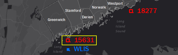
Western End
Latitude: 40.991
Longitude: -73.582
Depth: 13.136 m
| Storm | Date | % U max [m s^-1] | %U mean [m s^-1] | % U dir max | % U dir mean | % z(t) max [m] | % sigH maz [m] | % Tpeak max [s] |
| Gloria | Sept. 20, 1985 | 41.346 | 6.577 | 229.598 | 170.59 | 1.955 | 6.377 | 8.068 |
| Sandy | Oct. 25, 2012 | 17.54 | 5.308 | 103.173 | 90.077 | 1.945 | 2.232 | 5.611 |
| NorEaster | Oct. 30, 2012 | 32.29 | 10.942 | 58.109 | 90.495 | 1.823 | 1.15 | 4.68 |
| 1985 | month 9 | 13.375 | 5.356 | 70 | 152.73 | 1.636 | 1.121 | 4.68 |
| 2005 | month 9 | 8.554 | 5.914 | 77.504 | 197.894 | 1.719 | 0.62 | 3.564 |
| 2007 | month 4 | 17.722 | 7.655 | 105.338 | 215.371 | 1.93 | 0.893 | 4.274 |
| 2008 | month 8 | 19.407 | 7.427 | 137.405 | 221.685 | 1.613 | 1.158 | 4.274 |
| 2009 | month 8 | 8.57 | 4.541 | 211.755 | 196.2 | 1.821 | 0.408 | 2.479 |
| 2010 | month 9 | 12.843 | 5.9 | 18.142 | 219.621 | 1.888 | 0.287 | 2.264 |
| 2011 | month 8 | 20.199 | 8.24 | 86.112 | 172.657 | 1.908 | 1.823 | 5.611 |
| 2011 | month 10 | 18.237 | 6.976 | 23.193 | 186.952 | 1.731 | 0.845 | 5.125 |
| 2012 | month 10 | 17.54 | 5.308 | 103.173 | 90.077 | 1.776 | 2.038 | 5.611 |
| 2013 | month 2 | 17.985 | 11.51 | 64.626 | 204.14 | 1.626 | 1.052 | 4.68 |
| 2015 | month 1 | 14.052 | 6.388 | 2.529 | 238.879 | 1.797 | 1.017 | 4.68 |
| 2016 | month 1 | 19.136 | 11.324 | 58.331 | 117.251 | 0.598 | 1.112 | 5.125 |
Attribute Descriptions
| % U max [m s^-1] | maximum wind speed at that point |
| %U mean [m s^-1] | mean wind speed (average over time) |
| % U dir max | maximum wind direction |
| % U dir mean | mean wind direction |
| % z(t) max [m] | maximum sea-surface displacement … storm surge + tides |
| % sigH max [m] | maximum significant wave height |
| % Tpeak max [s] | maximum dominant wave period |