Where are they now? Meet Yan Jia
Dr. Yan Jia is a recent graduate of the Marine Sciences Department – he finished his PhD with Prof. Mike Whitney in 2019. His graduate research used drifters and models to understand the seasonal variation of freshwater discharge from the Connecticut River into Long Island Sound. Yan is currently working as a postdoctoral research associate for the Connecticut Institute for Resilience and Climate Adaptation (CIRCA). In his free time, he likes to collect matchbox cars and spend time with his family and his three children. This interview was carried out by Emma Shipley on October 12, 2021.

Q: How did you end up in your current position, and what do you do now?
When I worked as a PhD student, I didn’t pay too much attention to my future work. I knew I wanted to do research, but I didn’t try to apply to that many places, maybe 7 or 8 institutions. Sometimes you get denied, and you have to learn not to take it personally. Sometimes it’s just the job market, or the time window for the position doesn’t line up with your graduation and they are urgently looking for someone to fill the position. Eventually, Jim (Prof. James O’Donnell, UConn) offered this position to me. He was looking for postdocs.
Right now, CIRCA has two postdocs, me and my colleague Chang (Chang Liu, postdoctoral research associate, CIRCA). We are running more realistic studies on how to react to climate change and climate change’s impacts on the local area. We established a 100-year return period chart about how strong the storm surge and highest waves will be. We also run simulations more locally, specifically around New Haven harbor and neighboring coastal towns. One of the projects I finished earlier this year was about salt marsh flooding in Guilford. There is a small inlet with a width of only 8 meters, but it controls the water exchange of a 120-acre salt marsh. The local residents want to build a bridge over an old route that goes across the salt marsh; because of the sea level rising there has been more frequent flooding. It may cost millions of dollars, so they want to know what the flooding conditions are like. We run model simulations, but we also want to know if the results are reasonable. Normally people just run one numerical model, like ROMS (the Regional Ocean Modeling System), but what I did was compare four different hydrodynamic models. We can see why each model is different from the rest and which one is better to be applied in Guilford, and that will help future coastal modeling. Also, we simplified those hydrodynamic models to an idealized mathematical model that can predict the water levels inside the salt marsh much, much quicker. This idealized model is 1000x faster than the original hydrodynamic model and can be easily used by other non-modelers.
Q: It sounds like most of what you do on a day-to-day basis is work on models?
Yes, generally I help supply the scientific results for management and decision making.
Q: What does typical modeling work look like for you?
Since the summer, I have been working on adding wave forecast to an established operational model. It supplies surface current information for the Coast Guard in case they need to rescue a boat or a person in the Sound. Jim and his team have been collecting buoy-observed wave data for over 15 years. It’s one of the longest wave records in a US estuary. We can run hindcast simulations with the historical observations to tune the wave model and find a good set of parameters to support the operational forecast.
As an aside, Yan shared with me a joke about his work:
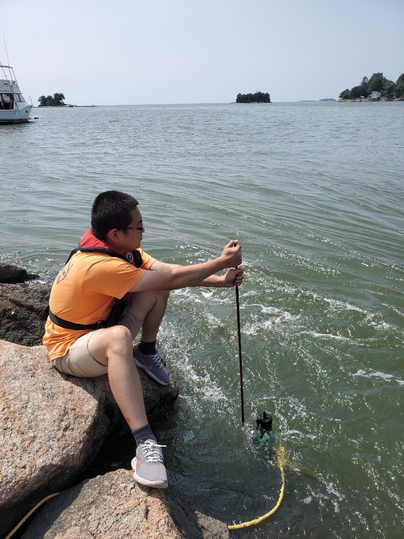
In Chinese, ‘physical oceanographer’ has a similar pronunciation as the words meaning “an oceanographer who sits inside the room,” so that’s my job. I just sit inside the room. Very occasionally, I am sent to the field. I think field observations are very necessary. Last spring, I spent several months trying to improve the Guilford simulation, but it wouldn’t give the right answer. So, in the summer, I decided that we needed to have a field trip. When I saw the inlet, I realized it was totally different from what the model was trying to predict. That was the starting point to drag me back to the right place. So, I shouldn’t stay in the room all the time!
Q: What about your grad school experience at UConn prepared you the best for this job?
I worked with Mike and got more familiar with ROMS, which laid the foundation for what I do now. Mike and Jim allowed me freedom, they did not regulate me in certain directions, they allowed me to use my wisdom to decide what direction or question I thought was good to pursue, and they always gave good advice. When I worked with Mike, he encouraged me to learn more simulations not just on the ocean side, but also on the atmospheric side. That helped my work with Jim because to make a good simulation of storm surge, you have to have a good simulation of wind.
Q: Do you have any advice for current students?
One of the good courses I learned from was Jim O’Donnell’s mathematical modeling course. I took that course twice. You can bring your own question and get his advice on the direction you should take. My classmates and I all learned a lot from his lecture. And of course, everyone knows to read a lot of papers.