 Coastal Flooding & Waves
Information on coastal flooding and waves for Connecticut

Reports, presentations, posters, and outreach materials

Interactive map viewer and technical tools

Coastal flooding and waves research and planning projects

Featured Reference
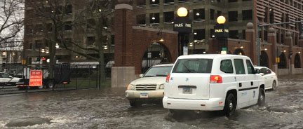
New Haven’s Downtown Storm Sewer Impacts
Assessing impacts of tides and precipitation through use of real-time depth and flow monitoring to reduce downtown flooding.
Featured Reference
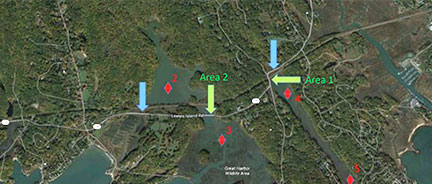
Road Flooding in Coastal Connecticut
Demonstration project to estimate flood frequency on Rte 146 in Guilford and Branford along with possible adaptation strategies.
Featured Tool
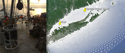
LIS Wave and Site Suitability Data
Wave heights for different return periods in LIS and living shoreline site suitability data in an online map viewer.
Featured Project
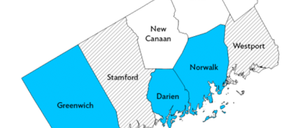
WCOG Regional CRS Program
A regional approach to FEMA’s CRS program to reduce flood insurance rates for residents in participating communities.