About the Project
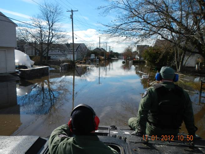
The coastline of Connecticut is characterized by numerous inlets where the rivers and streams carrying runoff from land towards the ocean and the saline tidal waters of Long Island Sound intrude into the channels. Salt marshes have formed in many of these inlets and have become critical habitat for numerous species of insects, birds and fish. Routes between coastal settlements have generally skirted the northern boundaries of these marshes and many bridges and culverts have been constructed to allow the water and roadways to co-exist. Rising sea levels, and some marsh restoration projects, have made segments of roadways more vulnerable to flooding. This project assessed the most cost effective and appropriate adaptation strategy to reduce the frequency of flooding to an acceptable level, requiring the analysis of the flow of water through the inlets.
A demonstration project was conducted to provide estimates of the frequency of flooding at two sites on RT 146 in Guilford and two sites in Branford. The model required the analysis of observations, LIDAR surface elevations, GPS surveys and water level observations. The end goal was to have the model and data provide:
- current flooding frequency statistics;
- future flooding frequency statistics; and
- the effectiveness of road elevation options on reducing the flooding frequency (or risk).
Product
June 2017 Road Flooding Final Report.docx
Researchers and Staff Supported on Project
- James O’Donnell, UConn CIRCA and Department of Marine Sciences
- Michael Whitney, UConn Department of Marine Sciences
- Kay Howard Strobel, UConn Department of Marine Sciences
- Todd Fake, UConn Department of Marine Sciences
Topic Areas
This project is a part of the following topical areas: