Project Summary
The Federal Emergency Management Agency (FEMA) administers the National Flood Insurance Program (NFIP) to provide flood insurance within communities that adopt and enforce floodplain regulations. Communities may choose to enter into the National Flood Insurance Program’s Community Rating System (CRS) in order to reduce the cost of flood insurance premiums for their property owners. Communities participating in the CRS Program go above and beyond the minimum standards and, depending on their level of mitigation efforts, can garner insurance premium reductions from 5-45%.
In response to the rising interest in the CRS program, CIRCA allocated funding to support communities with CRS entry and class advancement. CIRCA partnered with Connecticut Department of Energy and Environmental Protection staff to advise Milone & MacBroom about which municipalities could benefit and take advantage of CRS technical assistance. As a result of this funding opportunity, several municipalities were assisted to varying degrees.
Product
Municipal Assistance for FEMA's Community Rating System Report
Project Description
Through this opportunity, some communities were interested in pursuing CRS points for a wide range of activities, while others requested more in-depth assistance for a few select CRS activities. The towns of Guilford, Newtown and Stratford received assistance with open space mapping, outreach activities (brochures), or preparation of documentation for CRS entry. These three communities received assistance as an individual community on only a small number of activities in order to help boost their current CRS rating.
The City of Norwich sought to enter the CRS program and ultimately requested assistance with 14 CRS activities. Many of these activities required straightforward tasks, such as regulatory reviews and documentation preparation, while other activities required map and plan development.
The communities of the Lower Connecticut River Council of Governments (RiverCOG) were assisted in a different manner. Open space mapping was completed for the region using the prescribed CRS methodology with the goal of identifying how many points could be available for any one of the 18 NFIP jurisdictions if it elected to join the CRS program. This information will be used by CT DEEP to demonstrate that the presence of open space will help achieve points for communities in the RiverCOG region.
Overall, these participating communities were able to work toward increased CRS points and advance their CRS rating or enter the program, which will ultimately reap the benefit of lower flood insurance premiums on a community wide basis.
Project Team Members
David Murphy, Manager of Water Resources Planning, Milone & MacBroom
Diane Ifkovic, State NFIP Coordinator, Connecticut Department of Energy and Environmental Protection
Katie Lund, CIRCA Director of Engagement
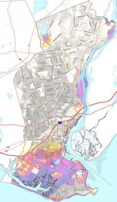
A Map Information Service for Stratford.
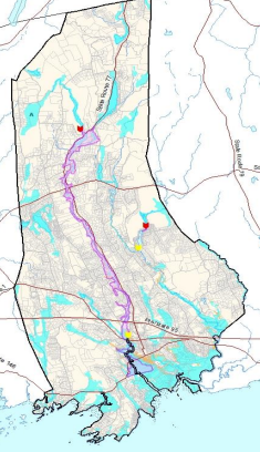
A Map Information Service for Guilford
Topic Areas
This project is a part of the following topical areas: