Project Summary
The RiverCOG developed a Regional Long Term Recovery and Land Use Mitigation Plan for its 17 towns based on real-time data and forecasts, mapping, and best management engineering practices for infrastructure (transportation, water, wastewater, utilities) as they relate to resilience in land use policies and climate adaptation. The project was developed to enhance this region’s ability to plan, prepare, recover, and adapt from the consequences of climate change.
Research indicates that severe storm events leading to an increased chance of inland flooding are becoming more prevalent in the Northeast United States. Creation of the Plan strengthens the 17 towns’ capabilities to mitigate damage from storm events, react more quickly in their recovery efforts, and provide a clear path toward resiliency in the face of climate change. A final project report is complemented by a series of map products designed for both those that have and do not have ArcGIS Software. Results demonstrate the importance of determining which present-day recurrence intervals (e.g. 100-year) are important for land use and recovery planning, hazard mitigation, design standards and/or flood warning plans and then building socioeconomic models to show how a more frequent occurrence of such events will impact response and/or recovery costs.
Products
RiverCOG Flood Susceptibility Report updated 4/22/2020
RiverCOG Flood Susceptibility Study Website - includes:
with a map package to view spatial products.
Project Description
This study estimates flood susceptibility in the Lower Connecticut River Valley Region (LCRVR) unrelated to climate change, while also looking at climatic mechanisms that correlate with projected rainfall trends. The analysis of future rainfall projections was conducted to determine how heavy rainfall will change over the LCRVR in the mid- and long-term future using data from the Intergovernmental Panel on Climate Change’s (IPCC’s) CMIP5 modeling experiments.
Several quantitative and qualitative methods were also considered to estimate flood susceptibility. Flood risk factors considered include elevation, slope, land curvature, distance to water body, land cover, vegetative density, surficial materials, soil drainage class, and percent impervious surface. The objective was to link each of the flood risk factors to the occurrence of flooding for a flood event having a recurrence interval of at least 100 years.
The LCRVR was divided into three regions (urban, rural, and coastal) to determine the differences in the contributions of each flood risk factor to flood susceptibility between an urban and a rural area and between inland vs. coastal areas. The susceptibility maps from this study provide a less expensive method of covering all land area within the region. By using the statistical modeling methodology described in this report it was possible to identify the contribution of flood factors within the physically modeled FEMA 100-year floodplain and apply them to the entire study region to identify areas thought to be vulnerable to flooding.
This analysis is useful for informing the possible changes in the shorter-duration flash flood risk, which is more driven by precipitation compared to riverine flooding (especially on the Connecticut River). Although the latter is also driven by rain and snow, it is also driven strongly by additional factors such as upstream flow, land cover, impervious area and ice jams and dam releases. Although current data sets are only applicable for analysis at the regional scale, it is hoped that this modeling technique will provide a less costly alternative to traditional flood modeling.
In addition to a project report, an ArcGIS map document file is available for the region’s future planning analysis containing the flood susceptibility, land use, and critical infrastructure datasets. One important disclaimer about the flood susceptibility map is that it was created for present-day conditions and is only to be used for planning purposes. It is not intended to replace the FEMA mapping for regulatory or flood insurance decisions.
Project Lead
Margot Burns, Lower Connecticut River Valley Regional COG
Primary Funding Source
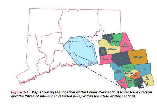
RiverCOG Region map