Project Summary
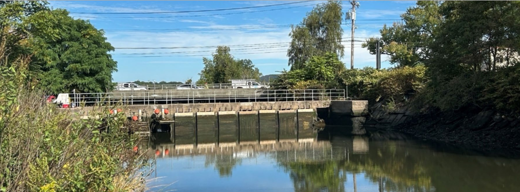
Connecticut's tide gates were built to drain land and block tidal flooding, but they also restrict the tidal exchange that salt marshes need. About 1,290 of the state's 13,678 acres of salt marsh (9.4%) lie behind a tide gate, while the same structures often protect roads and homes. A gate that protects at storm levels may do little at routine levels, and a marsh can be degraded by a gate that looks hydraulically open. Decisions about repair, modification or removal therefore need both flood and ecological evidence.
All 68 tide gates identified along the Connecticut shoreline were inventoried and scored for priority (the Tide Gate Scoring Risk, TGSR, combining structure condition with flood exposure and marsh value). Four systems were then assessed in detail: GF01 (Guilford), EH02 (East Haven, Farm River), NH01 (New Haven, West River) and WP01/WP02 (Westport). Each was modeled with a lumped hydraulic mass-balance model driven by 26.9 years of NOAA tide records, with and without the gate, for flood frequency and for 0 to 0.5 m of sea level rise (SLR). Field surveys of each structure and a MarshRAM assessment of each marsh were combined with the model results into site-specific recommendations.
The screening tool shows 36 of the 68 gates (53%) have upstream salt marsh. Of the 55 scored, 17 are High priority, 26 Medium and 12 Low; 13 gates could not be scored for access or status reasons, and 13 were scored provisionally. The four detailed sites behave very differently. At Guilford (GF01), the renewed gate has nearly eliminated flooding of the adjacent road and drains the marsh well, but as sea level rises the water inside the marsh will climb about twice as fast as the sea itself, so this protection will weaken over time. At East Haven (EH02), the gate is gone and the marsh is recovering, but the open channel lets water above 0.8 m onto the marsh on about 250 days a year, so nearby property is more exposed. At New Haven (NH01), the twelve-gate structure gives almost no protection against everyday and moderately high tides because one gate is always open, but it does protect against the highest storm tides. Even so, the marsh is dominated by invasive Phragmites, which suggests water level alone does not explain its condition. At Westport (WP01/WP02), the gates hold water in the pond above a set level, which protects against moderate to severe flooding, and the marsh is in good condition.
Survey the elevation and value of the assets each gate protects; deploy long-term loggers at all four sites to validate and calibrate the model; measure salinity, sediment supply and surface elevation on the marshes; calibrate the discharge coefficients; and apply the method to the remaining gates, using two-dimensional modeling where flow paths can improve the understanding of the tide gate structures.
Viewer
Product
Project Team Members
UConn CIRCA Project Team:
- Prof. James O’Donnell – Executive Director of CIRCA and Professor of Marine Sciences
- Dr. Yaprak Onat – Associate Director of Research and Project Principal Investigator
- Libbie Duskin – GIS Data Analyst
- Kay Howard Strobel – Research Associate
- Nathan Robinson – Oceanographic Research Assistant
- Megan Root – Former Oceanographic Research Assistant
- Carson Hill – Former Oceanographic Research Assistant
CT National Estuarine Research Reserve (NERR) Project Team:
Marine Sciences at UConn
- Dr. Jaime Vaudrey – Research Coordinator of CTNERR and Assoc. Research Professor of
- Dr. Lauren Barrett – Associate Research Scientist
- Kevin O’Brien – CTNERR Manager
- Shelby Larubina – Research Technician
- Jill Pasquino – Research Assistant
Topic Areas
This project is a part of the following topical areas: